Sustainable use of the seabed
On 31 May 2019 the Department for Environment, Food & Rural Affairs (Defra) confirmed the designation of 41 new Marine Conservation Zones (MCZs), as well as some additional features at 12 existing designated sites.
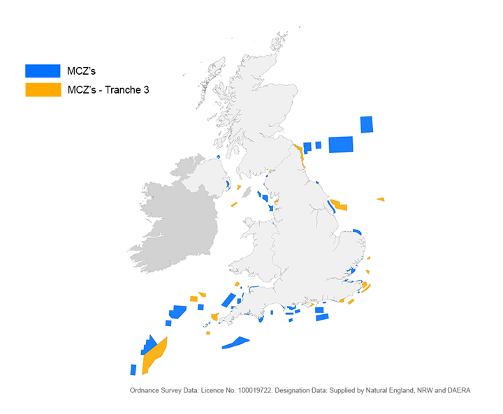
Thirty-nine of the 41 new sites are in English waters and two are in Northern Irish offshore waters. Following these confirmed additions, the number of designated MCZs in England is now 91, and the complete network covers over 32,000km2 of the seas surrounding England, Wales and Northern Ireland. The map below shows where these designated areas are.

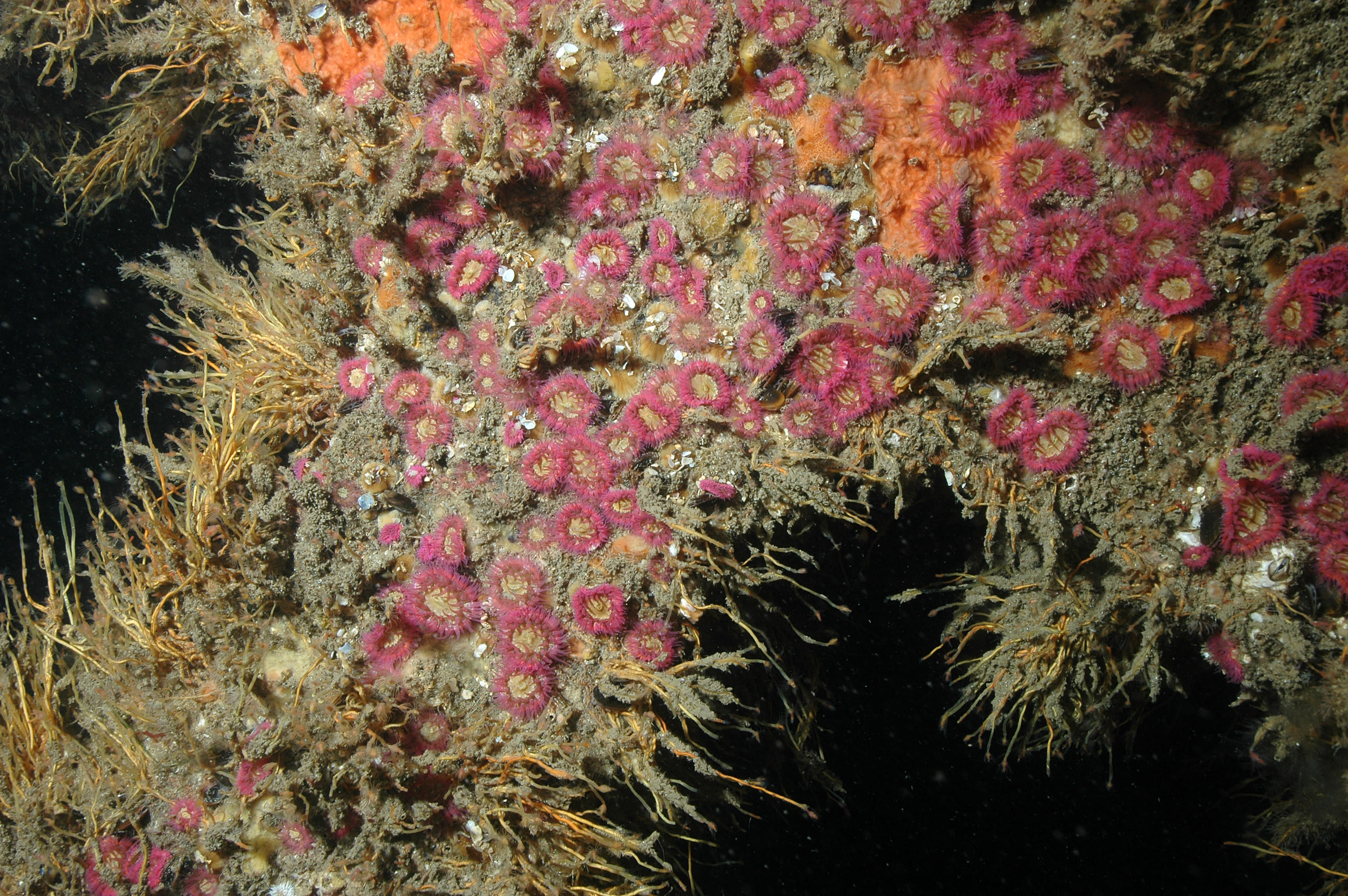
MCZs protect a range of nationally important, rare or threatened habitats and species (‘features’). The objective of MCZs is to support the maintenance, or restoration of, the relevant designated features depending upon their existing condition. Further information about where the MCZs are and what they protect can be found via JNCC’s Marine Protected Area Mapper.
Responsible management of the seabed
As managers of the seabed around England, Wales and Northern Ireland, we work closely with Government, Statutory Nature Conservation Bodies, industry and wider stakeholders to understand the potential implications of activities we lease and licence, to inform our decision-making. Furthermore, we seek to ensure that the sectors we work with are aware of the potential interactions of their projects with designated areas, helping to take account of these in project or activity planning.
As part of our internal processes, some applicants may receive additional information requests from us where we need further information about proposed activities. To avoid impacts on any time-critical marine survey work (either independent or in relation to intended energy, minerals or infrastructure activity), we advise that customers or prospective applicants contact us about survey plans a minimum of 6 weeks prior to the date you intend to commence survey work.
For Seabed Survey Licences (SSLs) in particular, we have made some recent updates to the application form to clarify application timescales, the level of information we need from you, and how we will use data shared with us. The latest version is available on the SSL webpage.
Responsible operations
We expect all our customers to operate responsibly in the marine environment and recommend you engage with the SNCBs early in project development to understand what you need to do in relation to all types of conservation designations. SNCBs can help to advise how to minimise impacts and support the achievement of good environmental status of our seas. The relevant SNCBs for the different jurisdictions are:
Improving our understanding
Many uncertainties of the effects of different activities on the marine environment remain, as well as questions around the best actions to take to minimise potential effects in some areas. The Crown Estate is committed to supporting efforts to improve the evidence base, helping to inform the future use of the seabed. See the Marine Data Exchange for more information.
Highly Protected Marine Areas (HPMA) Review
Also of interest to many will be the Government’s recently announced review on Highly Protected Marine Areas (HPMAs), which will examine whether and how HPMAs could be introduced in UK waters. It will involve an evidence–based assessment of the environmental, social and economic impacts of HPMAs, which the Government have confirmed will be undertaken by a seven-strong independent advisory panel. For more details see Defra’s website. We look forward to engaging with the Government’s review as we anticipate that its outcomes could play an important role in shaping how the UK approaches the future balancing of all marine space uses with the protection of our seas.
Image credits
Photo: © Keith Hiscock